Difficulty
A long, tough day for fit, experienced walkers: rough, steep and sometimes slippery ground, short scrambly sections on Pen-y-Ghent and Ingleborough, and exposure to the weather all day.
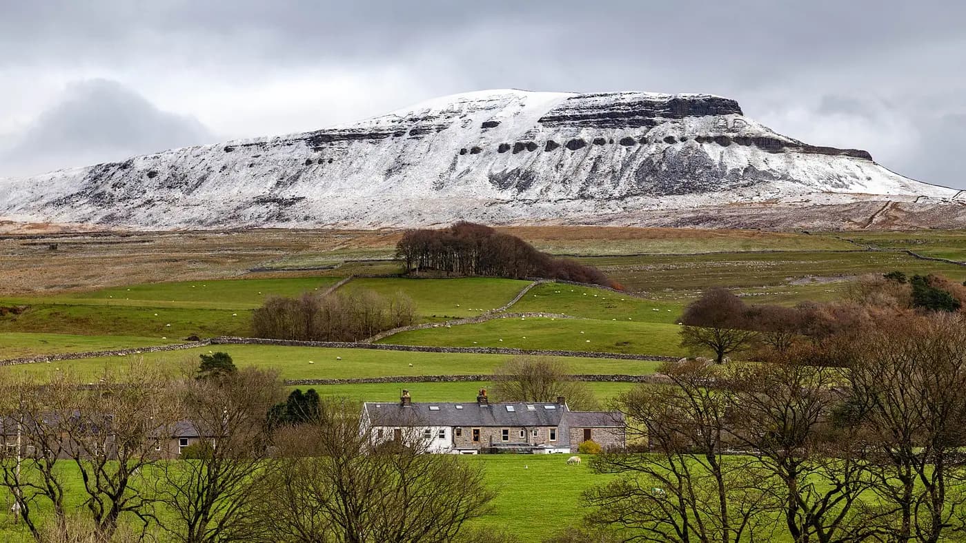
Part of Discover the Dales 30
Pen-y-Ghent, Whernside and Ingleborough. Take on the classic 24-mile round, or climb them one at a time.
The classic challenge
Log each continuous round of all three peaks with your start and finish times. You never need to do the 24-mile challenge to count these peaks in your Dales 30 — tick them one at a time in the list below, and they are shared with your Dales 30 tick list.
Time your round from when you set off to when you return. Sub-12 is awarded only for a completed round of 12 hours or less.
Shared with the Dales 30
In the order most people walk them from Horton-in-Ribblesdale. Heights are from the Database of British and Irish Hills.
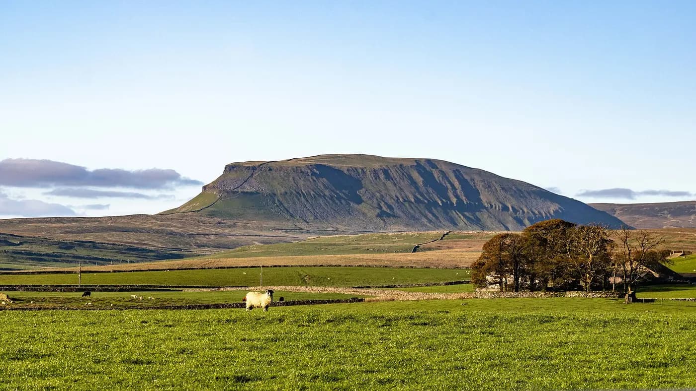
The lowest of the Yorkshire Three Peaks but perhaps the most dramatic, its stepped profile of limestone and gritstone looming over Horton-in-Ribblesdale.
The highest mountain in the Dales 30 and of the Yorkshire Three Peaks: a long ridge rising above Ribblehead, with the Settle–Carlisle railway's famous viaduct crossing the valley below.
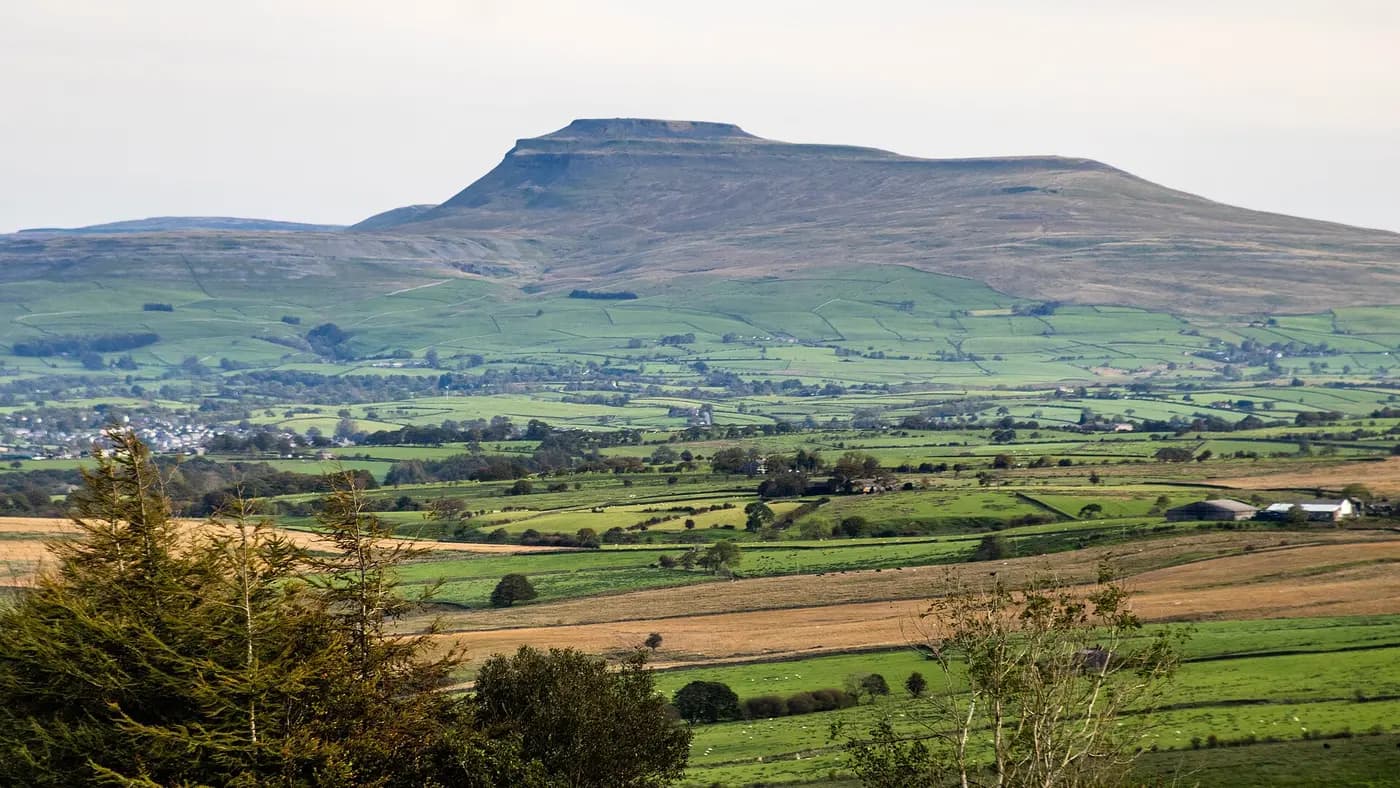
The most distinctive of the Three Peaks, with a flat, gritstone-capped summit plateau rising above terraces of limestone pavement, scars and potholes.
View the Three Peaks on map
Select a peak to jump to it in the list. Green ticks show the peaks you have climbed. Turn on campsites, overnight stops and pubs to plan where to stay.
About the challenge
Pen-y-Ghent (694m), Whernside (736m) and Ingleborough (723m) ring the head of Ribblesdale. Walked as one circular route, they make one of Britain's best-known hill challenges: about 24 miles (38.6km) with around 1,600m (5,000ft) of ascent, traditionally completed within 12 hours.
The first recorded round was in July 1887, when two masters from Giggleswick School near Settle walked all three in about ten hours. Today many thousands of people take it on every year, many of them for charity.
Most rounds start and finish at Horton-in-Ribblesdale, which has the only public toilets on the route; Ribblehead is a popular alternative. The route is signposted, and the National Park publishes a free route description, GPX files and an app.
A long, tough day for fit, experienced walkers: rough, steep and sometimes slippery ground, short scrambly sections on Pen-y-Ghent and Ingleborough, and exposure to the weather all day.
The route is waymarked, but cloud often covers the tops. Carry OS Explorer OL2 and a compass, and make sure at least one person in your group can navigate in poor visibility.
Train with long hill days first. Start early, carry plenty of food and water, waterproofs, warm layers, a torch and first aid kit, and leave your plans with someone.
Parking is limited. Share cars or use the Settle–Carlisle railway, which stops at Horton-in-Ribblesdale and Ribblehead. Never park on verges, in passing places or gateways.
Responsible participation
The Three Peaks are some of the busiest hills in England, and path repairs cost the National Park around £35 a metre. Following the code helps keep the route open and welcoming.
Keep vehicle numbers down, share lifts or come by train, and park considerately.
Keep noise to a minimum in villages, especially early in the morning. No bells or horns to welcome walkers home.
There are no bins on the route. Take all litter home — banana skins and orange peel included — and use the toilets at Horton.
Be fit and well equipped, call mountain rescue only in a real emergency, use local businesses and consider donating to path repairs.
Walk on the path, not its edges, and never move stones on Ingleborough's summit — its ancient enclosure is a scheduled monument. Read the full Code of Conduct ↗ · Register an organised group or event ↗ · National Park route guide ↗
Distance and ascent from the Yorkshire Dales National Park Authority. Check the MWIS Yorkshire Dales forecast before you go.